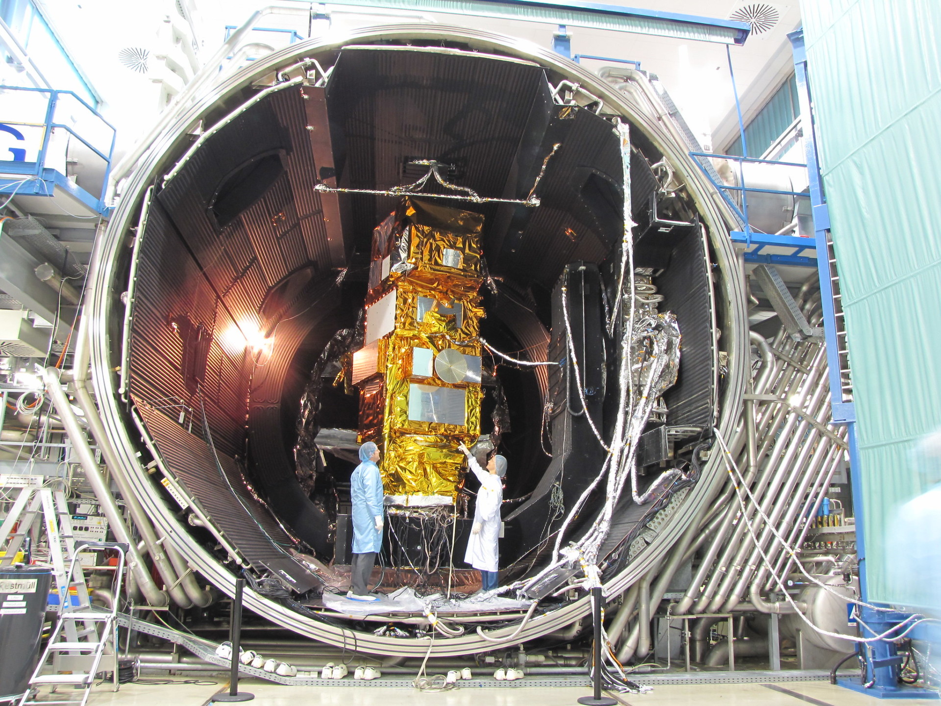
One of the Sentinel-2 satellites prior to launch. The two Sentinel-2 satellites collect 10 and 20 m resolution data (depending on wavelength) across the whole world every 5 days. Photo Credit: IABG via ESA_events on …
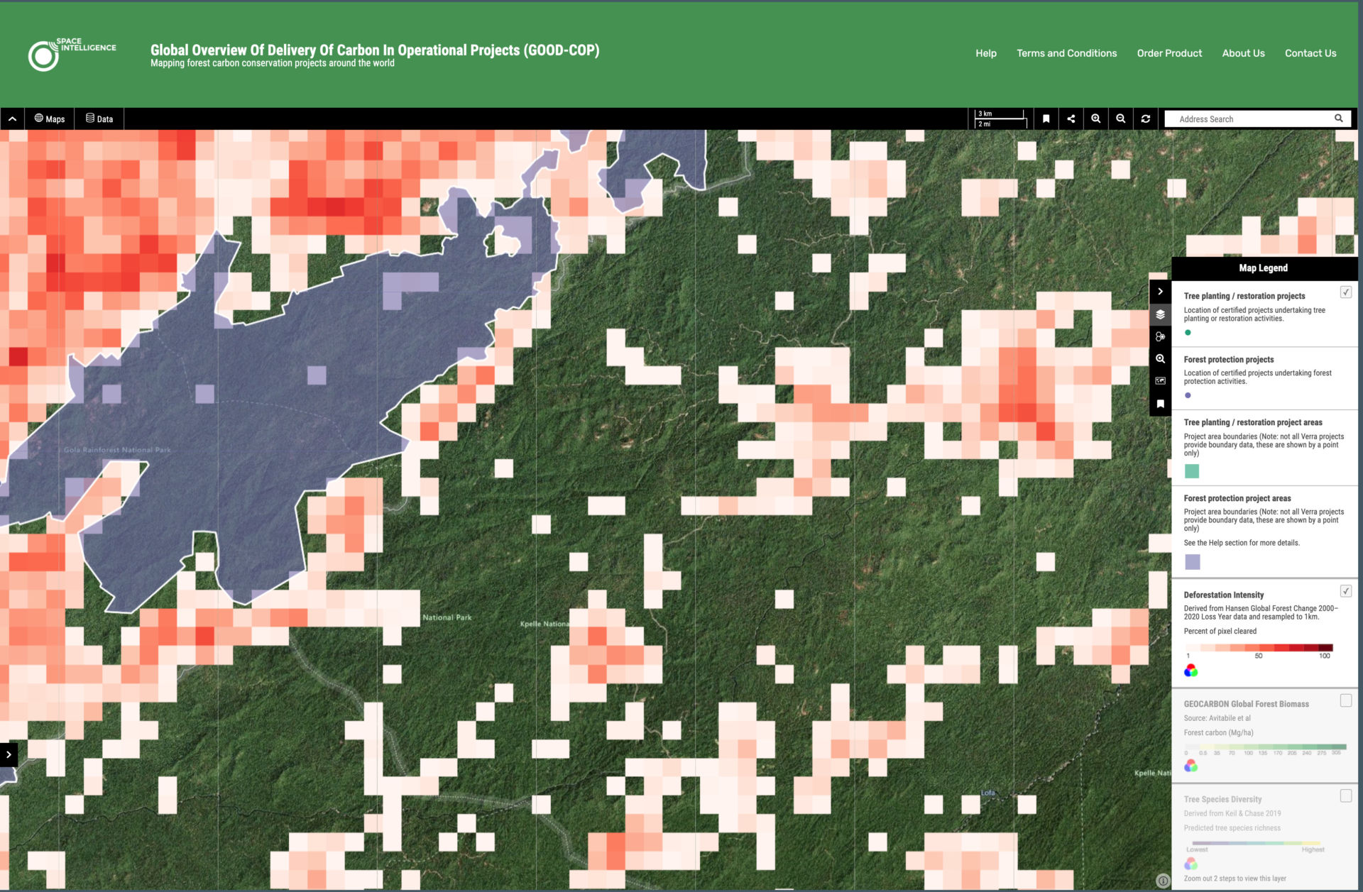
We’ve just launched a world-first interactive platform mapping forest carbon project globally. During COP26 in Glasgow, Space Intelligence has launched a world-first platform which displays forest carbon project data in an easy to digest world …


