26 Feb 2026
Snezhanna Markova
Space Intelligence partners with Abatable to Strengthen Scope 3 FLAG Reporting
15 Jan 2026
Snezhanna Markova
IFM Project Screening is here – plus key ARR updates you may have missed
27 Nov 2025
Snezhanna Markova
Indonesia’s forest carbon opportunity: a view in data (2025)
7 Oct 2025
Snezhanna Markova
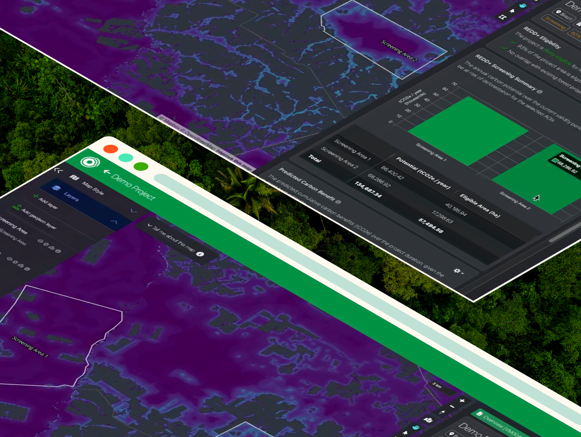
Rapidly screen new ARR opportunities for carbon potential and eligibility
4 Sep 2025
Snezhanna Markova
Introducing NbS Project Screening: reliable carbon potential estimates, in minutes
10 Jul 2025
Snezhanna Markova
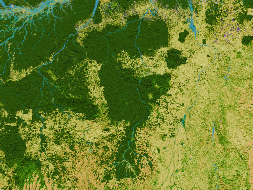
Brazil in Full Colour: Deforestation Trends and Carbon Potential
12 Jun 2025
Snezhanna Markova
Brazil Map Completed: Announcing Brazil in Full Colour
22 May 2025
Snezhanna Markova
Why Ecology Expertise is Key for Robust MRV
7 May 2025
Snezhanna Markova
5 Questions to Assess Nature-Mapping Data Quality