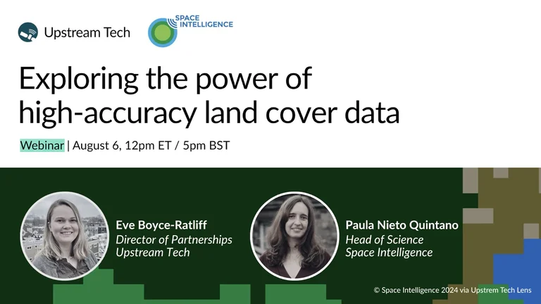
Exploring the power of high-accuracy land cover data
Join us on August 6th for a deep dive webinar between Space Intelligence and Upstream Tech on the importance of high accuracy land cover data for carbon projects and conservation organizations.
Understanding land cover dynamics is critical for the conservation sector, carbon markets, and the private sector. Satellite imagery can be a helpful first window into habitat type and forest cover on the ground, but it’s hard to translate a picture into statistics and it’s not always easy to understand the exact mix of land cover types with the naked eye.
Enter satellite-derived data layers powered by machine learning to classify land cover type. High-quality land cover data enables conservation organizations to understand and quantify land cover and land use current conditions and change over time. Because land cover classifications and changes to habitat are often critical to tracking conservation and restoration success, it’s important those data sources are as accurate as possible.
Join Dr. Paula Nieto Quintano, Head of Science at Space Intelligence, and Eve Boyce-Ratliff, Director of Partnerships at Upstream Tech, to walk through how Space Intelligence produces high quality land cover data in hard-to-map landscapes like Kenya. Discover how Space Intelligence’s audit-grade nature mapping data, combined with Upstream Tech’s intuitive remote monitoring platform, Lens, empowers users to screen, assess, and report on projects with confidence.
We’ll cover
- The challenges and limitations of traditional satellite imagery for land cover analysis
- Methods for creating audit-grade land cover in complex regions
- The importance of high-accuracy when it comes to land cover data
- Real-world applications and examples from Kenya
- How to leverage Space Intelligence land cover data in Lens
Whether you’re a conservation professional, carbon project developer, or sustainability leader, this session will equip you with the knowledge and tools to make data-driven decisions and maximize your project’s impact with land cover data.
Register to reserve your spot today.
Speakers

Dr Paula Nieto Quintano
Head of Science, Space Intelligence
Paula leads Space Intelligence’s Science team, which develops satellite data analysis technologies designed to leverage advanced Machine Learning and Big Data capabilities for interpreting landscape information, including producing land cover and carbon maps for forest carbon projects.
She has a broad range of expertise in mapping and monitoring tropical forests and in using satellite data analytics to address environmental challenges. She has a PhD from the University of Edinburgh and a MSc in GIS and Remote Sensing from Wageningen University. She has more than 15 years of experience in remote sensing analysis, GIS, field data collection and environmental consultancy.
Eve Boyce-Ratliff
Director of Partnerships, Upstream Tech
As Director of Growth and Partnerships for Lens at Upstream Tech, Eve brings her background in land conservation and natural resource management to support organizations in the conservation sector and environmental markets with remote sensing.