1. Project Summary
The Client
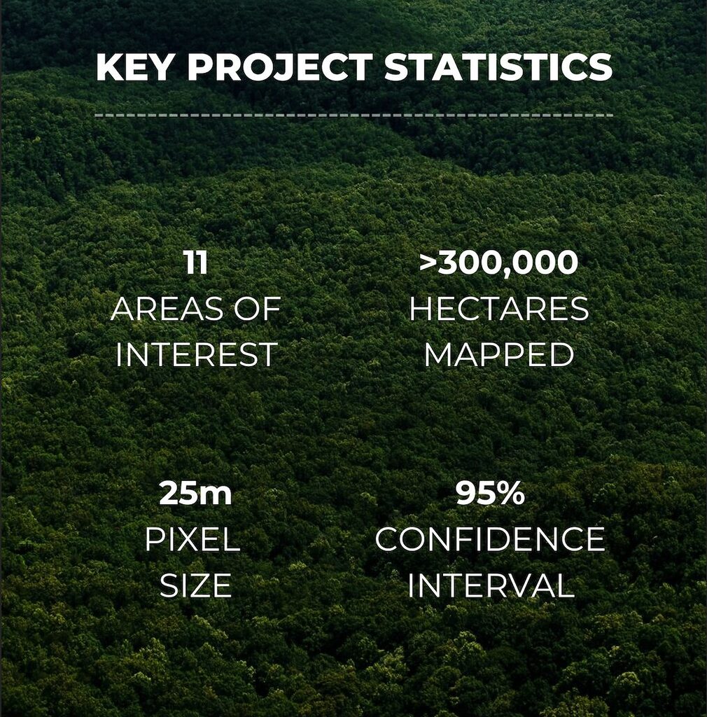
Our client, a project developer, needed to calculate above-ground biomass (AGB) for 2021-2022 in 11 discrete areas of interest across a combined area of more than 300,000 hectares in Southeast Asia.
The output of the data was to be used in support of a baseline audit, which required highly accurate results to ensure accurate carbon credit issuance.
They had access, and resource, to gather field plot data, but understood that extrapolating plots across a region of this size would not give the level of accuracy needed.
Our client also had an understanding of the availability of remote sensing data, but couldn’t rely on out-of-the-box biomass maps to run through the audit process.
They needed accuracy at scale.
Our Work
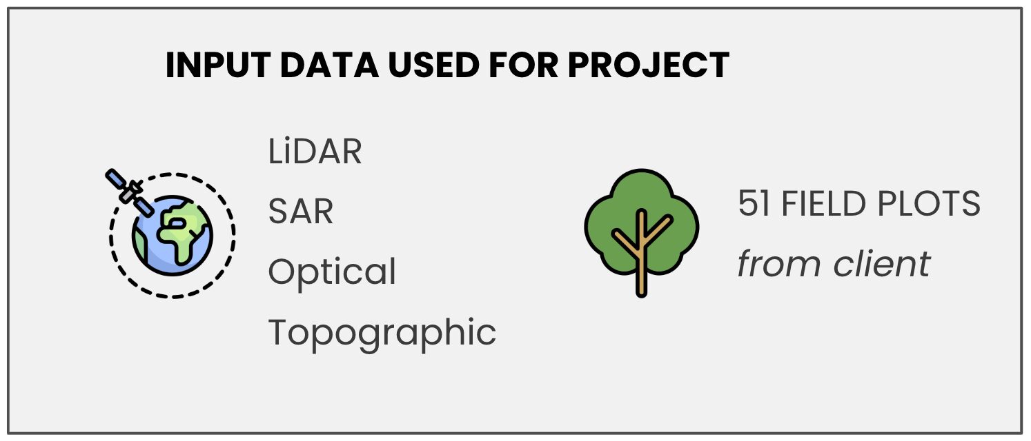
We produced above-ground biomass estimates for the full area at a 95% confidence interval. Our work included ingesting client’s collected field plot data to calibrate and validate our remote sensing and machine learning models.
This case study outlines our process and the client deliverables as part of this project.

2. Process Overview
Backed by Science and Fuelled by Technology
Our process has been developed through our extensive experience in satellite remote sensing, machine learning, and forest ecology and is designed for the production of highly accurate and comprehensive insights.
Our CarbonMapper product is built on peer-reviewed methods combining LiDAR and Synthetic Aperture Radar (SAR) data to map biomass (Collins et al. 2015, Mitchard et al. 2012), and developed further by Space Intelligence.

3. Final Report Overview
Requested data was delivered in report format, detailing the specific AGB estimates as required alongside granular information about methodology and process to help our client verify and understand how results were derived.
Insight Report Contents
1. Overview of Areas of Interest
2. Methods and Datasets
a. Forest Inventory Data Processing
b. AGB Estimation from Field
c. Remote Sensing Upscaling
3. Results
a. Canopy Height Maps
b. AGB + BGB storage
4. Model Accuracy and Uncertainty
a. Accuracy Assessment Method
b. Uncertainty Propagation
5. Conclusions
6. Appendix 1: Plot-level Summaries

Report Extracts:
AGB Estimates
- Outputs were provided in a visual format for quick reference of the distribution of carbon storage across the sites.
- Detailed tables of AGB, BGB and total biomass were also provided, broken down by forest stratum for more specific insights.
- Data has been redacted for the purposes of confidentiality and intellectual property protection.
Canopy Height Estimates
- As a key input into AGB estimates, a canopy height map was also produced.
- Data has been redacted for the purposes of confidentiality and intellectual property protection.
Accuracy and Uncertainty
- The report included a detailed overview of our process in assessing accuracy and uncertainty for the work.
- Methodologies and outputs were provided.
- Data has been redacted for the purposes of confidentiality and intellectual property protection.
Maximise your project’s impact
We provide the highest quality nature data to bring integrity and trust to the carbon markets.
We offer solutions for every stage of forest carbon projects’ lifecycle.
- Project Screening
- Origination
- Monitoring & Reporting
Our extensive expertise in satellite remote sensing, machine learning, and forest ecology enables high accuracy insights on natural capital, globally.


