Webinars
Join us on August 6th for a deep dive webinar between Space Intelligence and Upstream Tech on the importance of high accuracy land cover data for carbon projects and conservation organizations.
Are you confident in choosing the right stocking index for your VM0047 project? In this webinar, we’ll break down VM0047’s dynamic baselines and the role of the stocking index.
Join us as we walk through the impact that VM0048 is set to have on REDD+ projects, and how project originators can prepare for the changes.
Explore how Space Intelligence’s new REDD+ Insights platform empowers stakeholders to assess forest carbon projects with confidence.
In the first webinar of our mini-series, we explore natural capital trends, deforestation drivers, remote sensing challenges, and how Space Intelligence data can maximize and showcase forest carbon project impacts.
In this webinar, we use Space Intelligence’s dataset to reveal Cambodia’s land use changes, highlight a REDD+ project’s impact, and show how climate patterns like El Niño complicates deforestation insights.
Podcasts
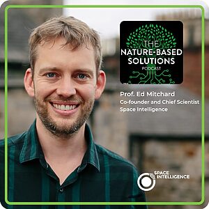
What Article 6 Means for Voluntary Carbon Markets with prof. Ed Mitchard
For the first episode of the year, we sit down with prof. Ed Mitchard, Chief Scientist and Co-Founder at Space Intelligence to explore the ins and outs of Article 6 and its potential impact on voluntary carbon markets in 2025.
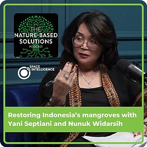
Restoring Indonesia’s mangroves with Yani Septiani and Nunuk Widarsih
Murray Collins and co-host Stuart Clenaghan speak with Yani Septiani and Nunuk Widarsih about how Indonesia can restore its vast natural resources while becoming a leading carbon credit supplier under Article 6.
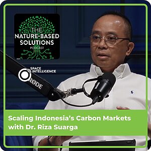
Scaling Indonesia’s Carbon Markets with Dr. Riza Suarg
In the second episode of our Indonesia series, we dive straight into how Indonesia can scale its emerging carbon market and become a leader in the carbon capture and storage industry.
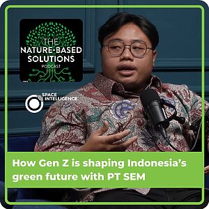
How Gen Z is shaping Indonesia’s green future with PT SEM
In the final episode of the Indonesia series, Murray Collins and Stuart Clenaghan chat with the team from PTSEM, an environmental consulting firm in Indonesia.
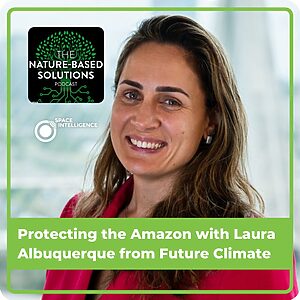
Protecting the Amazon with Laura Albuquerque from Future Climate
In this episode, we chat with Laura Albuquerque, Chief Climate Officer at Future Climate, who shares an inside look at some of the major forest carbon projects the organisation is working on in Brazil.
Everland partnered with Space Intelligence to enhance their high-impact projects with precise nature mapping data, surpassing the limitations of open-source datasets and ensuring robust analysis and verification of REDD+ projects.
We provided a client with precise above-ground biomass estimates for over 300,000 hectares in Southeast Asia using advanced remote sensing and machine learning, validated with field data, to support a baseline audit and ensure accurate carbon credit issuance.
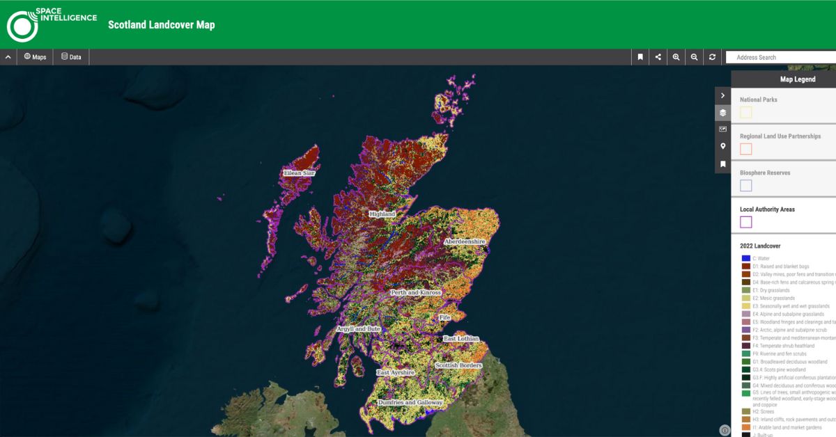
Scotland National Land Cover Map
Scotland’s first-ever nationwide habitat maps, commissioned by the Scottish government, in partnership with NatureScot. Includes landcover maps for 2019, 2020 and change maps.
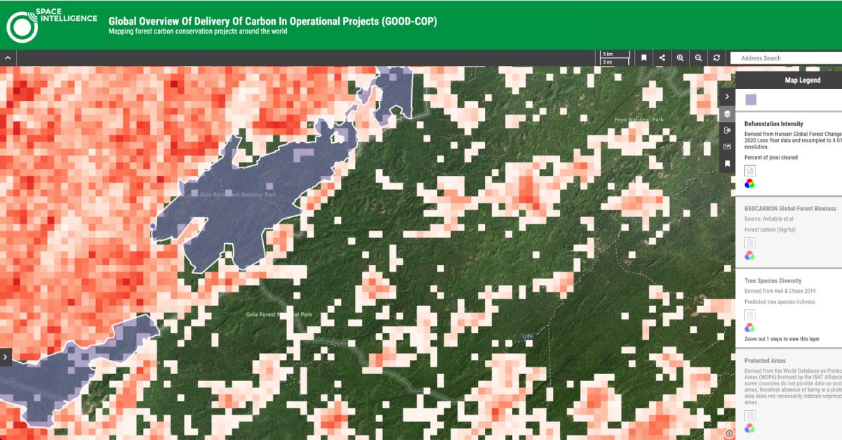
GOOD-COP
Interactive map presenting forest carbon projects worldwide including projects certified by Verra, Plan Vivo and the Woodland Carbon Code.

