DisturbanceTracker is a change detection data product that provides project developers and stakeholders with granular, frequent, and high accuracy insights on disturbance to help you protect the impact of your projects.
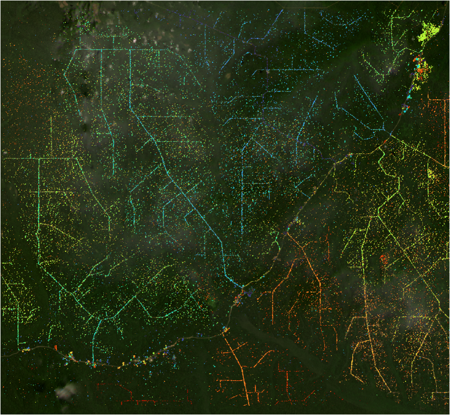
By using Synthetic Aperture Radar and expert geospatial analysis, DisturbanceTracker accurately identifies areas of deforestation and small-scale disturbance across wet closed-canopy forests.
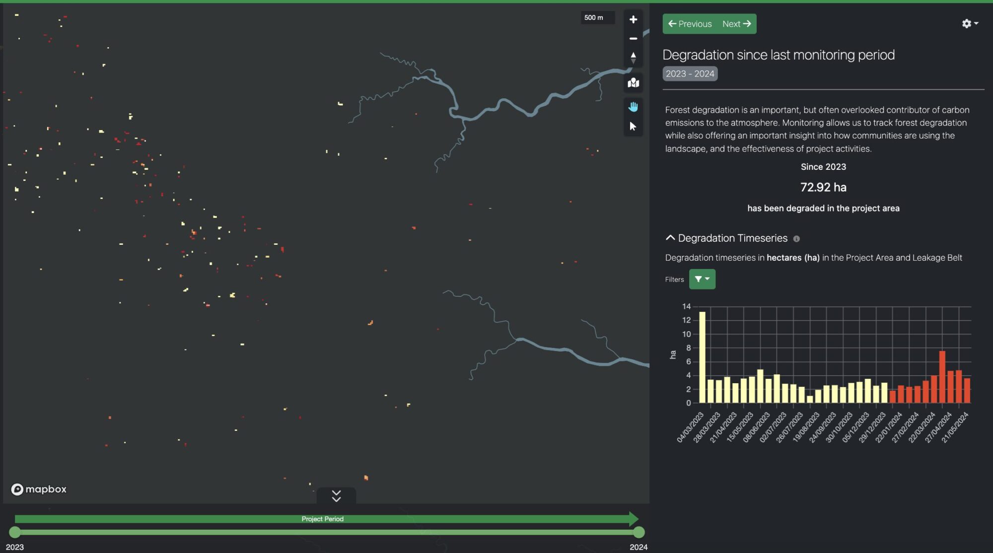
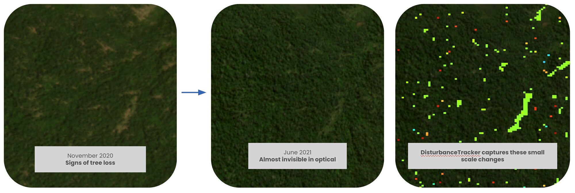
This can help you identify the impact of selective logging, road building, or natural degradation in and around project areas, to ensure you can intervene and take preventative measures against further loss.
Identify Potential Disturbance to Take Action Before it’s Too Late
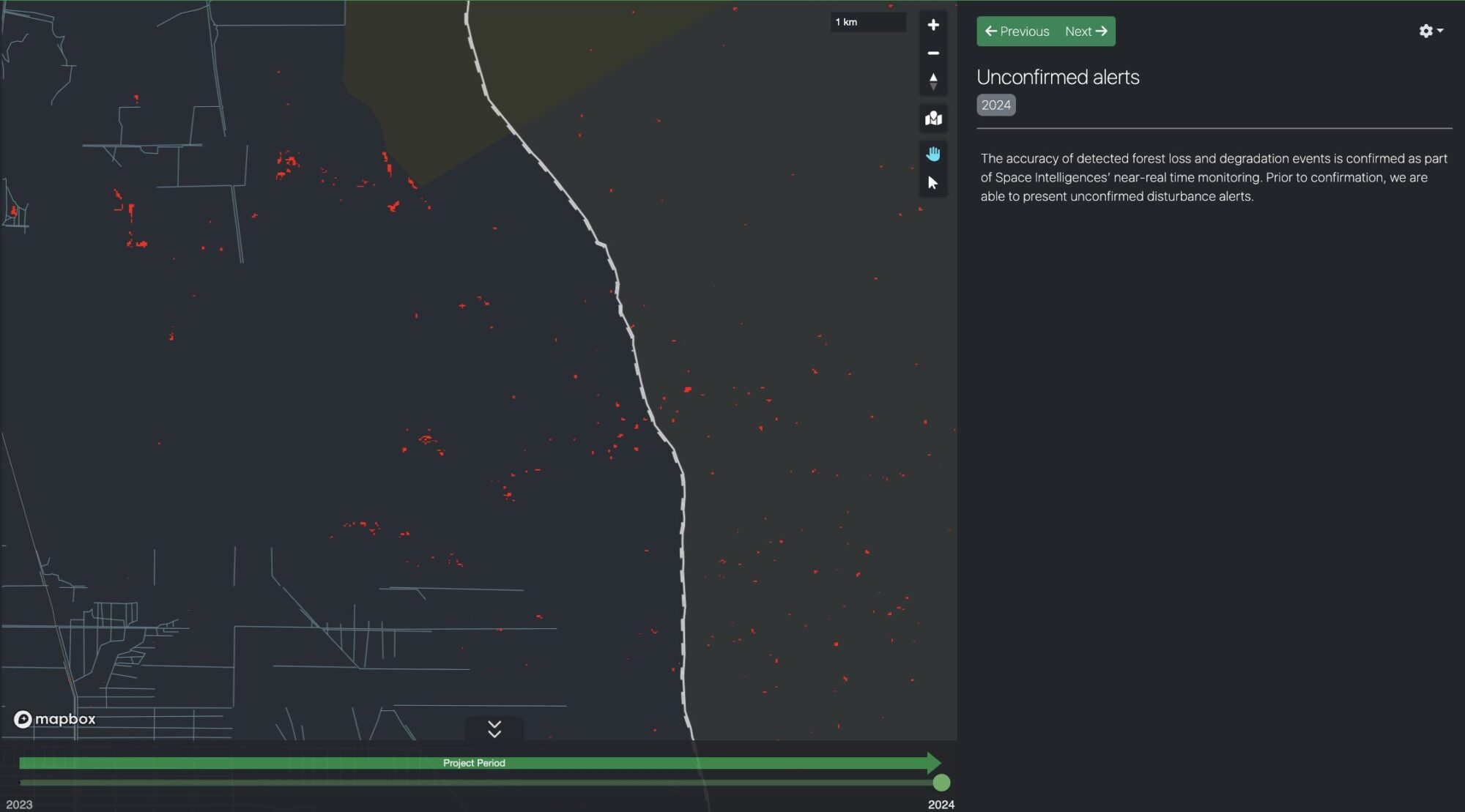
DisturbanceTracker provides a view of unconfirmed canopy loss every two weeks to help you get an early indicator on forest disturbance, and enable you to intervene as needed.
We can identify loss of canopy tree of 20m+ to help you see where small-scale disturbance through selective logging, road building, or natural events is taking place.
Quantify the Full Impact of Deforestation and Degradation
Mapping and quantification of confirmed canopy loss is reported every three months with a monthly time stamp to let you see where loss has happened, and when.
Change is broken down into Deforestation (conversion to non-forest) and Larger Scale Degradation (loss of biomass but is still classified as forest).
Ensure Consistent Reporting of Change even in Cloudy Regions
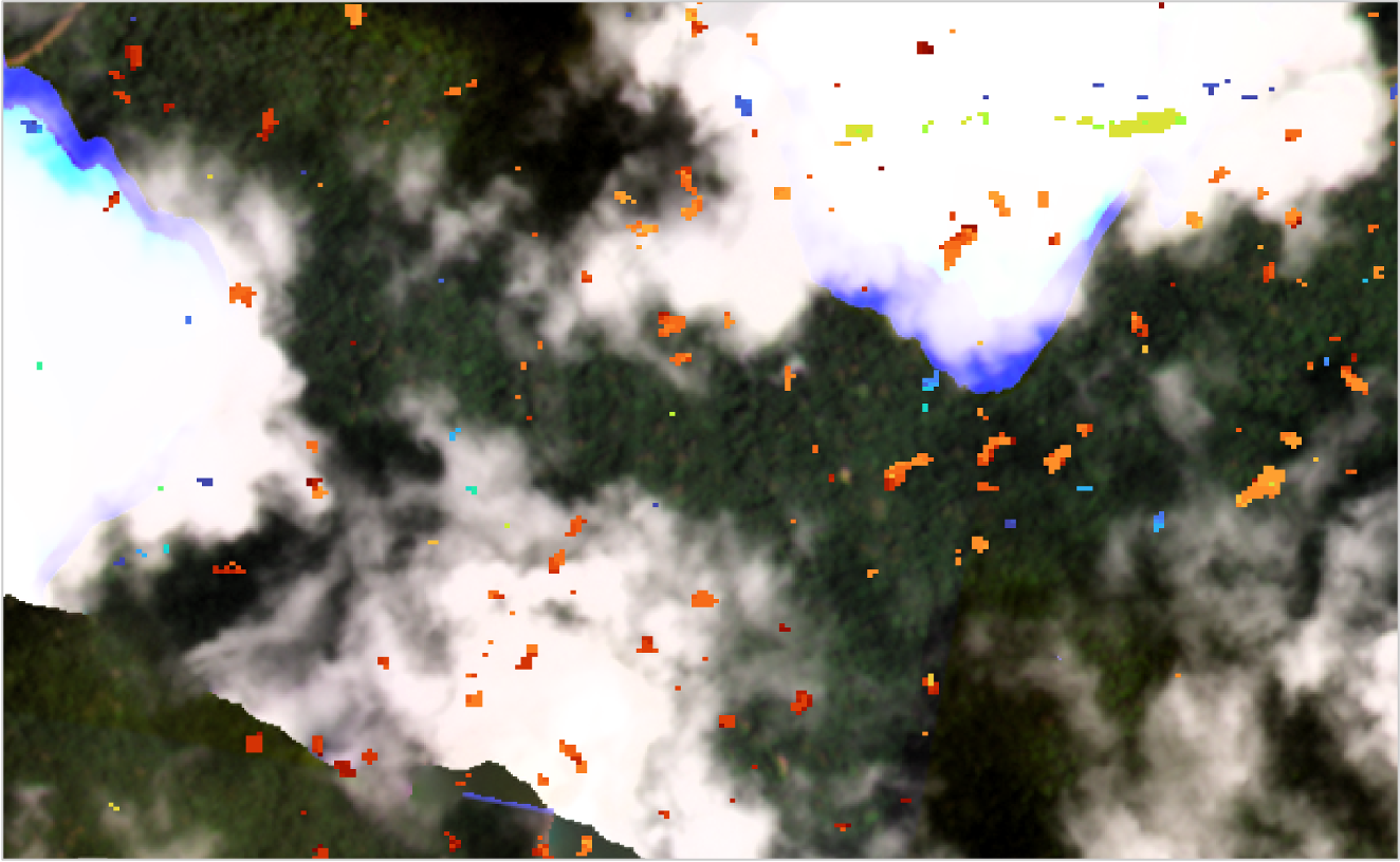
By using Synthetic Aperture Radar (SAR), DisturbanceTracker is able to identify canopy loss even in the most cloudy of regions, where optical satellite imagery and analysis would miss it.
This ensures you are able to consistently monitor and assess forest disturbance, regardless of on-ground weather.
DisturbanceTracker uses Synthetic Aperture Radar (SAR) data from ESA’s Sentinel-1, with new imagery over most of the tropics acquired every 12 days. SAR enables all weather observations of the ground – overcoming the weaknesses of optical datasets which are impaired by cloud cover; a frequent challenge across the world’s rainforests.
Through the use of image normalisation (to adjust for seasonal changes and atmospheric conditions) and multi-temporal speckle filtering (to mitigate random signal variations), we are able to identify small but persistent drops in backscatter, which highlight areas of deforestation and small scale disturbances, such as selective logging within areas of dense forest.
Request a demo
Fill out the form to request a personalised demo of DisturbanceTracker to learn more about its capabilities and coverage areas.
