In this series, we’re highlighting some of the countries that we’ve mapped at a national level, taking a closer look at widespread land cover change across each country. Each webinar will give project developers, investors, and credit buyers insight into the localised factors that can drive deforestation risk across countries, as well as the key questions they need to ask when using geospatial data to assess project quality and impact.
Each 20-minute webinar will provide an overview of:
- Natural capital trends and deforestation statistic and drivers in the country.
- The specific factors that create challenges for generating high quality nature mapping data.
- The differences in output between open source data sets and locally calibrated datasets
- Examples of how projects in each country are defending against deforestation.
- How project developers and investors can use Space Intelligence data to maximise and showcase nature impact from forest carbon projects.
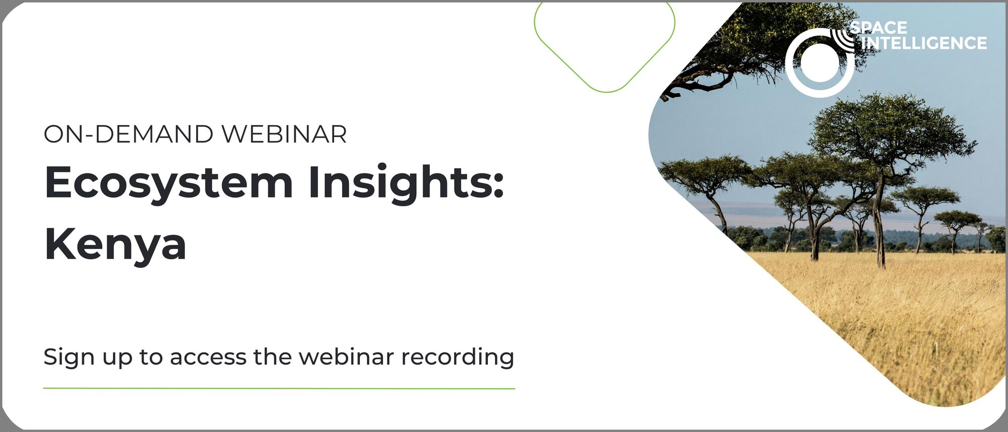
Watch a preview of our Kenya webinar and access the full series below
Watch On-Demand
Meet the Speakers

Dr Alexis Moyer
Customer Solutions Lead
Dr. Alexis Moyer is a remote sensing scientist with expertise in combining satellite and field-based data to provide innovative solutions to complex environmental problems. She has a PhD in Environmental Sciences from the University of Edinburgh, where she used satellite data to explore the impact of climate change in the Arctic. As the Customer Solutions Lead at Space Intelligence, Alexis explores ways satellite data can be used to provide insight and support for nature-based solutions and nature-positive financial decision-making.
Dr Sophie Flack-Prain
Reporting and Insights Lead
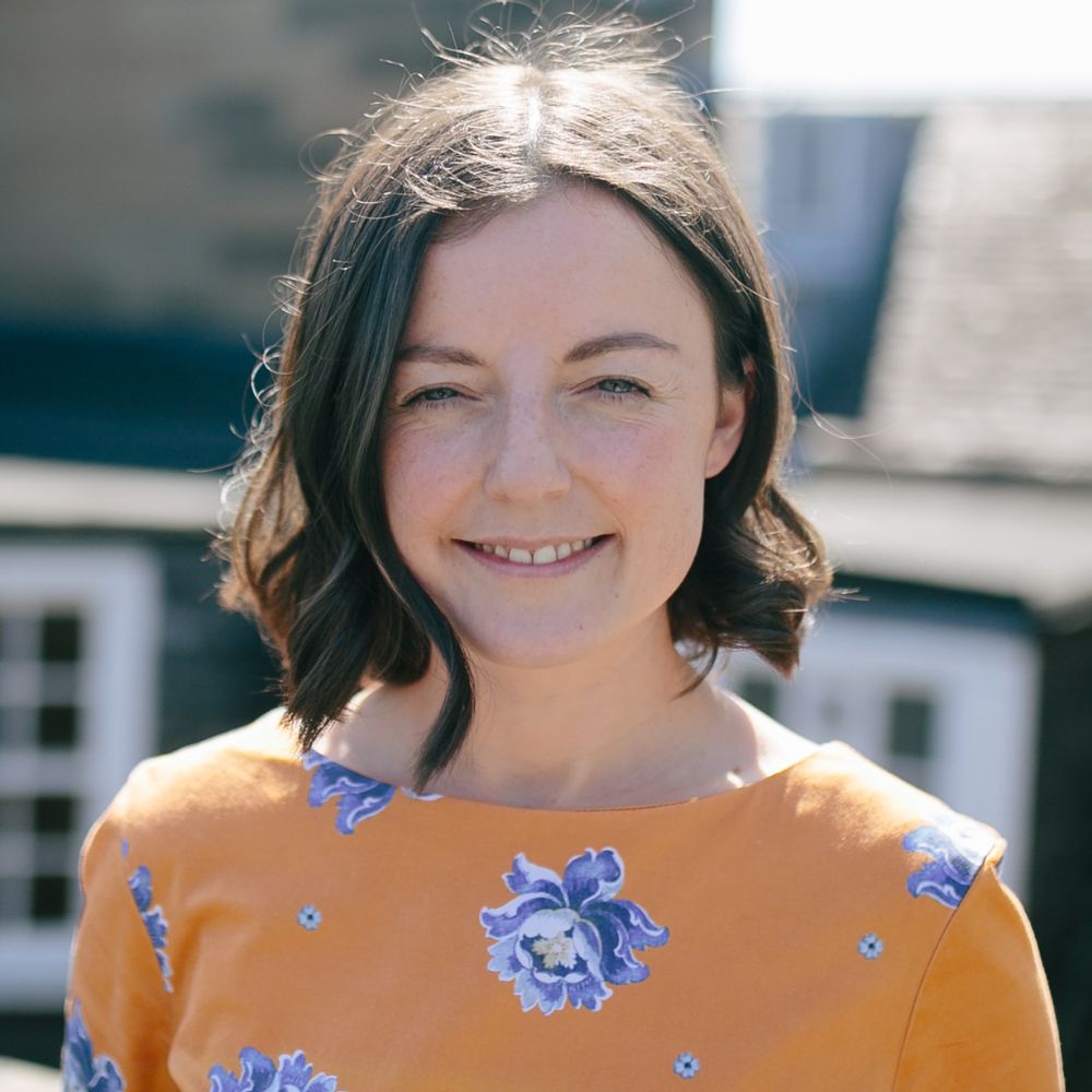
Sophie is the reporting and insights lead at Space Intelligence, working to link VCU standards and methodologies to high quality science and nature mapping data. Until recently, she worked as a senior mapping scientist, leading the generation of jurisdictional scale landcover maps. She has extensive experience harnessing remote sensing data and machine learning approaches.
Interested in learning more about our nature mapping data before the webinar?
Contact Us
Fill out the form to request a call with a member of our team to learn more about our data products and how they can support your nature-based program – whether you’re developing, investing, or buying credits.
Space Intelligence is a trusted provider to both sides of the nature-based solutions ecosystem and is on a mission to end deforestation and achieve mass reforestation by providing the data needed to create and support high-quality forest carbon projects.
