Project developers and project investors need to find the balance of answering a number of key questions about a pre-issuance project efficiently, but with high confidence in the answers.
Compromising on either can risk significant amounts of time and money spent on reviewing projects that don’t progress, or conducting further feasibility work based on incorrect assumptions on technical and eligibility factors.
Space Intelligence’s Pre-feasibility Reports use our nature mapping data and carbon standards expertise to provide you with reliable insights to support ARR and REDD+ project investment decisions, with the speed and confidence you need.
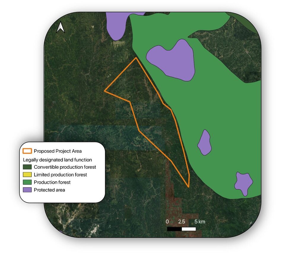
Review Project Alignment to Carbon Standard and Environmental Legislation
We use our geospatial data and desk-based research to assess critical factors on project eligibility before you invest further time on review.
- Quantification of total project area (ha) eligible for VM0047 or VM0048 projects.
- Provision of details about national and local environmental legislation requirements across the proposed site.
- Identification of AFOLU Projects and Protected Areas that overlap into proposed area.


Assess Project Integrity
With buyers and project developers aiming to ensure high integrity project development, many are now going beyond the requirements of standard’s methodologies and setting their own bar for quality.
- We can help you assess project integrity with a review of land use and change across ten-year period.
- Identify where past deforestation or land use change might impact integrity.
Assess Carbon Sequestration Potential
We provide insight into land cover trends in the project and region to assess:
- Impact of land cover change across ten-year time period to inform additionality potential.
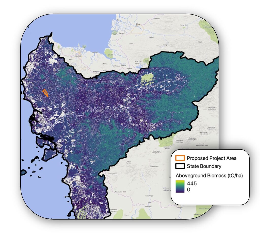
- For VM0047 project, we assess the potential of project as measured by tCO2e of removals, across lifespan, by applying regional above-ground biomass quantification and project assumptions
- For VM0048 projects, our unique approach to high accuracy mapping of entire jurisdictions enables us to produce estimations of a project’s emission avoidance potential in certain countries by following the methodology’s approach to generating deforestation risk maps.


Review Technical Factors Affecting Project Delivery
Assess potential issues with project implementation with:
- Estimation of the frequency of fires across previous ten-year period to support risk assessments.
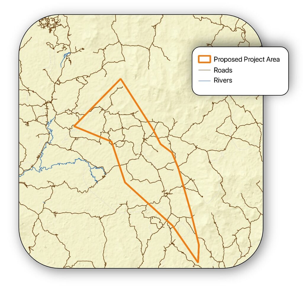
- Mapping of roads and rivers to support assessment of ease of logistics for carrying out restoration activities.
Access a Sample Pre-feasibility Report
See the full contents of our Pre-feasibility Reports for an example ARR or REDD+ project.
Trusted by the Carbon Markets
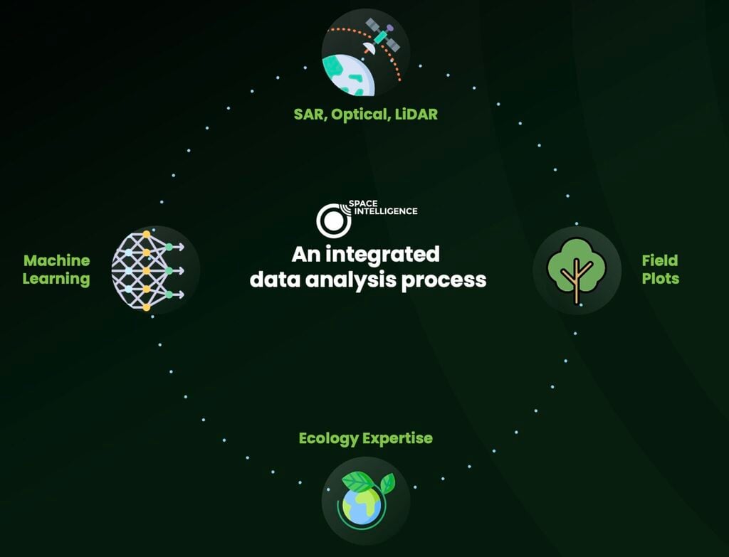
All our products are underpinned by a satellite data analysis process that integrates decades of experience in remote sensing and ecology to prioritise accuracy. We fuse multiple sources of satellite data and train machine-learning algorithms with ecologist input to generate high quality datasets across large geographical areas.
We are a trusted provider of nature mapping data to Verra, with our data products selected to support the production of seven jurisdictional baselines for the introduction of VM0048.

