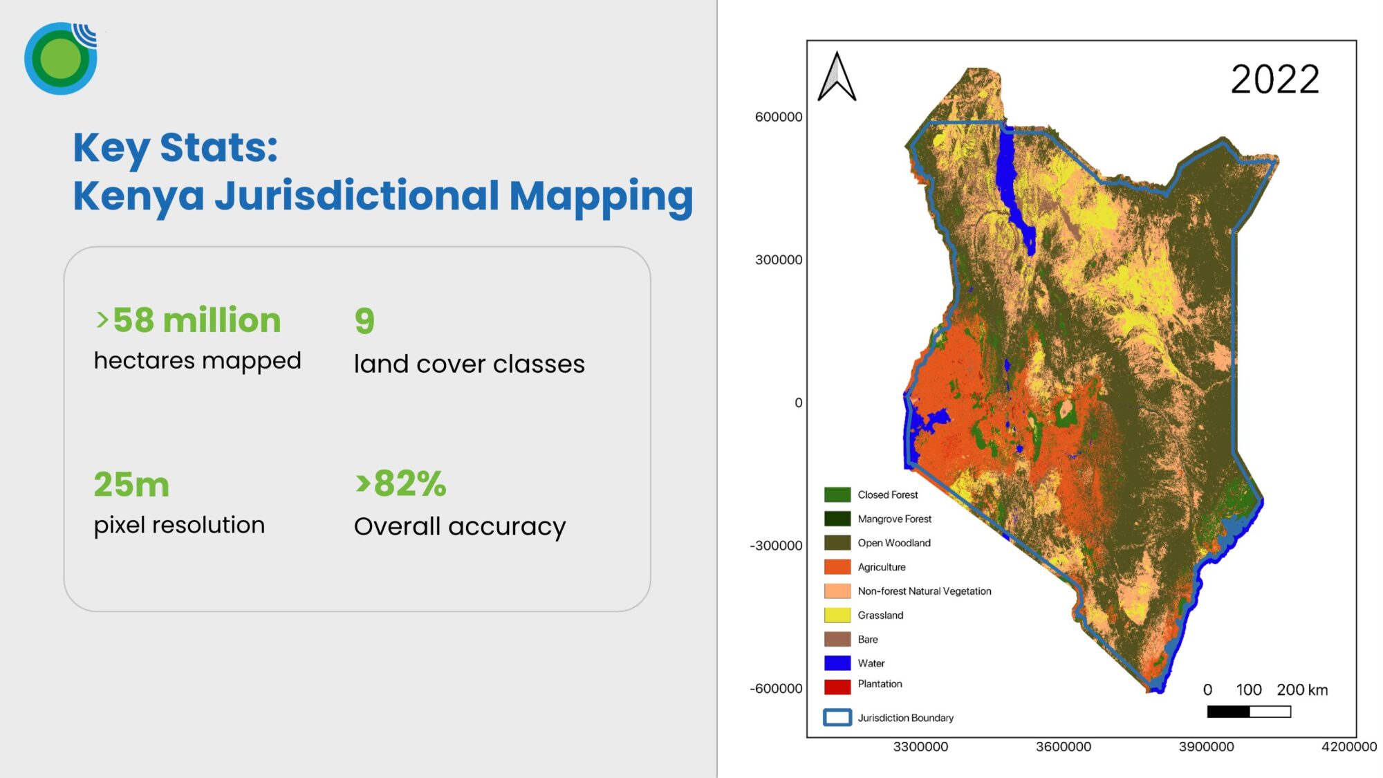
Kenya has become one of the most attractive countries worldwide for carbon market activity and investment, with the most diverse projects and highest number of retired carbon credits of any African country. It presents a number of opportunities and unique characteristics for forest carbon projects.
In the first in a mini-series of webinars exploring a number of key regions for NbS projects we’ll explore:
- Natural capital trends and deforestation drivers.
- Localised challenges in creating high quality nature mapping data through remote sensing.
- How project developers and investors can use Space Intelligence data to maximise and showcase nature impact from forest carbon projects.
Fill in your details to access the webinar recording
Speakers
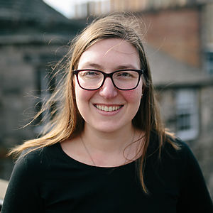
Dr Alexis Moyer
Customer Solutions Lead
Dr. Alexis Moyer is a remote sensing scientist with expertise in combining satellite and field-based data to provide innovative solutions to complex environmental problems. She has a PhD in Environmental Sciences from the University of Edinburgh, where she used satellite data to explore the impact of climate change in the Arctic. As the Customer Solutions Lead at Space Intelligence, Alexis explores ways satellite data can be used to provide insight and support for nature-based solutions and nature-positive financial decision-making.
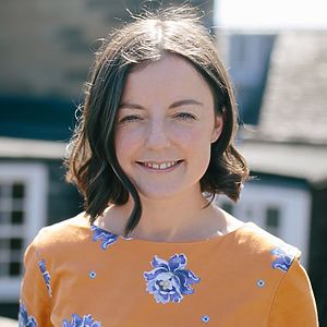
Dr Sophie Flack-Prain
Reporting and Insights Lead
Sophie is the reporting and insights lead at Space Intelligence, working to link VCU standards and methodologies to high quality science and nature mapping data. Until recently, she worked as a senior mapping scientist, leading the generation of jurisdictional scale landcover maps. She has extensive experience harnessing remote sensing data and machine learning approaches.
Register for other webinars in this series
On-Demand
