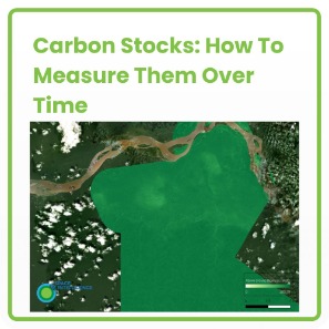
If you need to understand how much carbon is stored in your forest project area, our product CarbonMapper™ gives a per-pixel estimate of how much carbon is stored in the trees, and how that’s changing. …
Key publications on satellite mapping by our co-founders Professor Ed Mitchard and Dr Murray Collins: E.T Mitchard et al., 2020. Assessing Forest/Non-Forest Separability Using Sentinel-1 C-Band Synthetic Aperture Radar. Remote Sens. 2020, 12, 1899. Access …


