
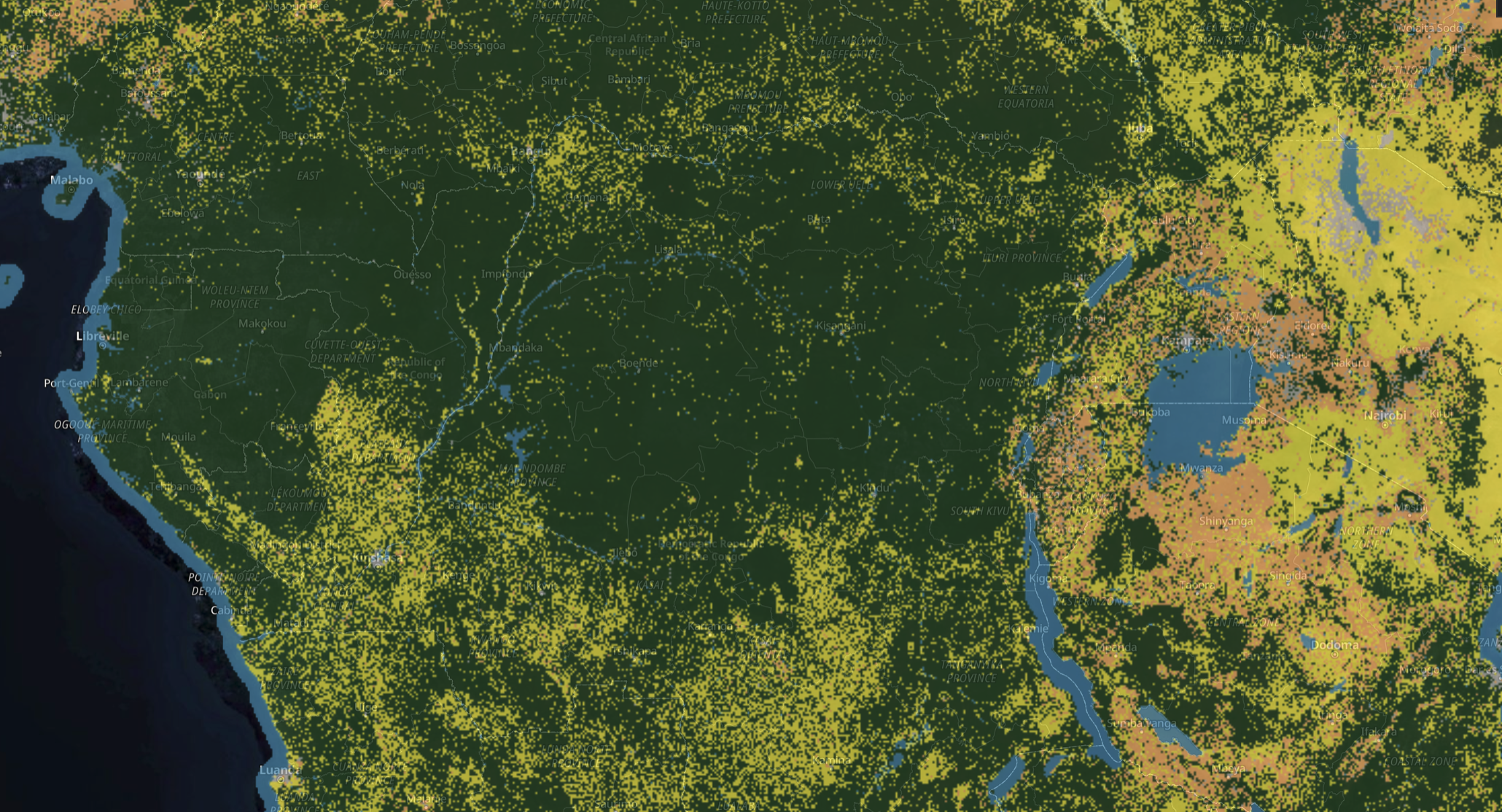


Global Harmonised Layers (GHL) is a screening-grade suite of 30m maps covering land cover, deforestation, and aboveground forest carbon. It combines the strengths of 18 open datasets, harmonised onto one grid and a common target year. The layers are thematically consistent: only forest classes carry carbon above zero, and recently cleared land is never mapped as forest.
GHL powers NbS Project Screening – our platform for project developers and offtakers designed to rapidly assess project eligibility and carbon impact.
Data Layers
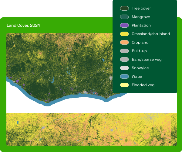
Land Cover
A 10-class land cover map for 2024-2025. Each 30m pixel is assigned its dominant land cover type.
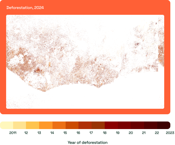
Deforestation
A record of forest loss since 2011. Each pixel shows the two-digit year it was cleared; 0 means no loss observed since 2011.
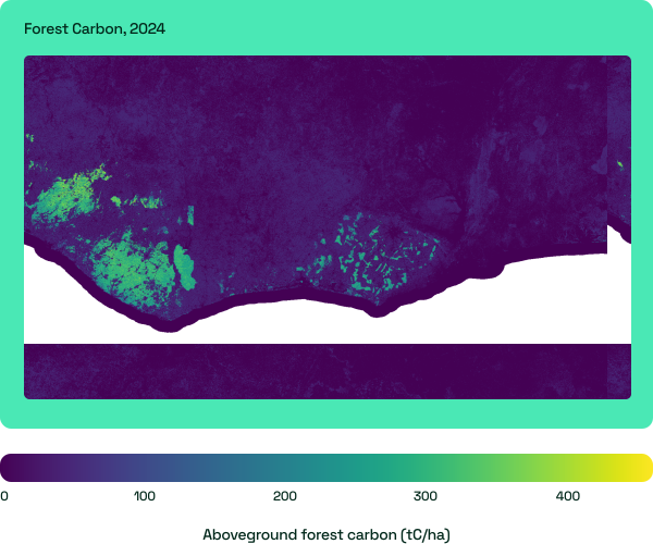
Forest Carbon
Estimated aboveground forest carbon in tonnes per hectare (tC/ha). Values run from 0 to around 660.
GHL for academic research and non-profit work
The 2024 GHL layers are freely available on the Earthmover platform for academic and non-profit efforts to protect and restore the world’s forests. We believe that access to reliable data should not be a barrier to science — and we are glad to support the next generation of environmental and Earth observation researchers advancing the field.
Explore more of our data products & services
We provide a full suite of data products & services to support your entire project lifecycle, from screening all the way through to ongoing monitoring and auditing.