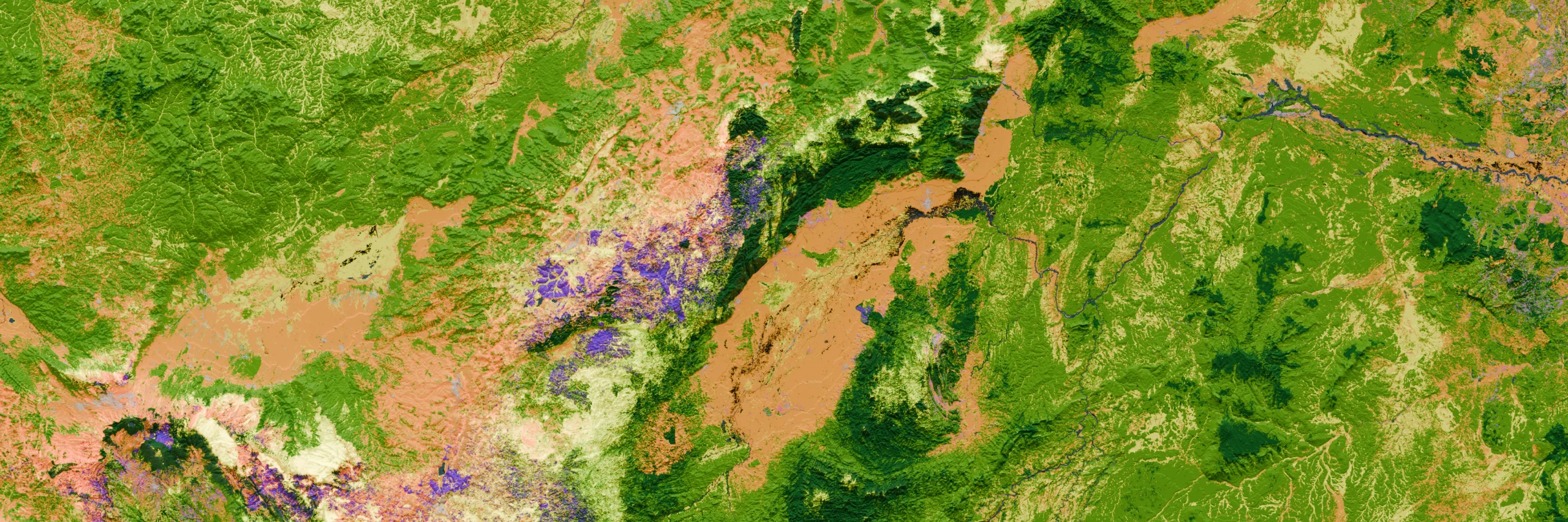
NbS Project Screening tool leverages decades of our team’s carbon, geospatial, and technology experience to provide you with the screening infrastructure to de-risk your decisions and meet your goals.
NbS Screening Features
1/4
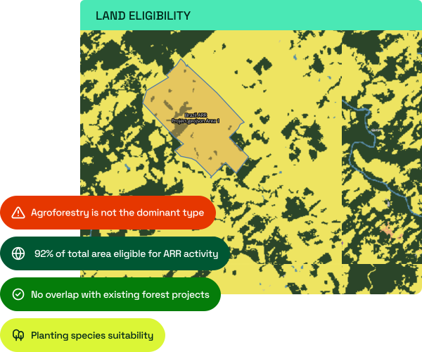
Land Eligibility & Suitability
We validate whether projects meet specific methodology requirements by checking historical and present-day land cover. The platform instantly identifies existing project overlaps and historical deforestation.
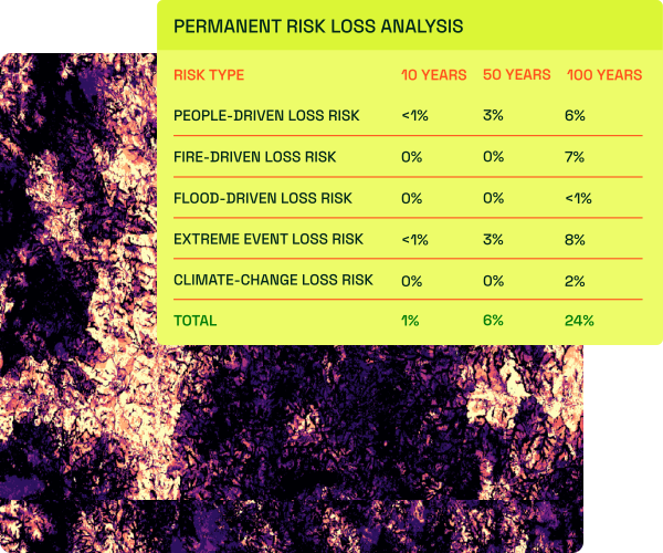
Permanence Risk Mapping
Assess a project’s long-term exposure to climate change-driven risks, fire, and human pressure.
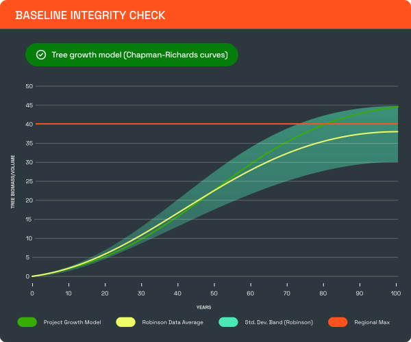
Carbon Crediting Models
Test project carbon projections against scientifically derived reference models. The tool automatically flags any estimates that fall outside realistic bounds based on project type, geography, and historical data
Leakage Risk Assessment
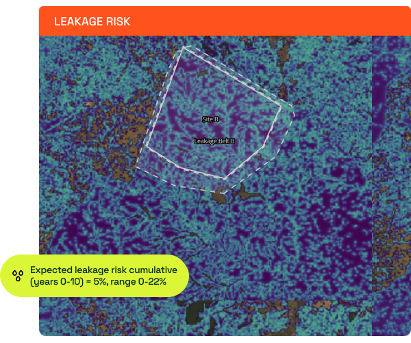
Estimate the risk of activity displacement in the leakage belt and beyond, both for REDD and ARR projects, and provide recommended deduction percentages for credit issuance.
NbS Screening Pro was selected to support the newest RFP by the Symbiosis Coalition. By leveraging the Space Intelligence platform featuring our latest technology and embedding our domain expertise, Symbiosis Coalition will evaluate projects using its rigorous quality criteria, assessing offtake readiness, and climate impact.
How much does it cost?The NbS Screening tool is licensed on a per-country basis, with screening of all methodologies available within your licensed countries. The yearly subscription includes unlimited users and number of screening projects. Speak to us for pricing based on your needs.
What datasets are used in the tool?To carry out eligibility checks and carbon stock estimations, we use our Global Harmonised Layers dataset: a global coverage dataset that combines the strengths of 18 of the best open-source maps across land cover, above-ground biomass and deforestation layers, enhanced by our mapping expertise.
For production of avoided deforestation under VM0048, we ingest Verra’s provisional allocated deforestation risk maps where available.
What countries are available for screening?Our NbS Project Screening tool is currently available for REDD+ projects with Risk Map availability to allow for the calculation of a baseline.
As of Q1-26 this includes a few states of Brazil (Mato Grosso, Pará, Amazonas, Rondônia), as well as Peru, Zambia, Kenya, Indonesia, Cambodia, Colombia, DRC, Guatemala. Where a Verra baseline is not available, Space Intelligence can produce an independent deforestation risk map to support project impact estimations.
ARR and IFM project screening are available globally.
Request a Personalized Demo
Fill out the form to schedule a demo of NbS Project Screening with one of our product specialists.