I’ve spent my whole career trying to create maps that are used to stop and reverse deforestation. This was the main driver behind starting Space Intelligence with my co-founder Murray Collins back in 2018: we …
With the majority of forest carbon projects located in the tropics, did you know one of the key challenges in mapping in these regions is cloud cover? In some areas we work it can be …
While it might seem counterintuitive: the highest resolution satellite data doesn’t always produce the highest quality results about the earth’s land cover and how it’s changing. Commercially available Earth Observation imagery has evolved dramatically over …
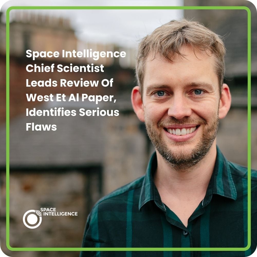
Our Chief Scientist, Professor Ed Mitchard, is lead author on a new paper “Serious errors impair an assessment of forest carbon projects: A rebuttal of West et al. (2023)” Professor Ed Mitchard, alongside Riccardo Cosenza, …
Verra announced a major update to its REDD methodology on November 27, 2023; in short, this will see all Verra REDD+ projects transition (by 2025) to using country-level baselines produced by groups like Space Intelligence, …
This is a map of the world in ‘deforestation intensity’. Please click on it to see it full size. I have replotted this from the original 30 m data to a 3 km resolution, and coloured …

