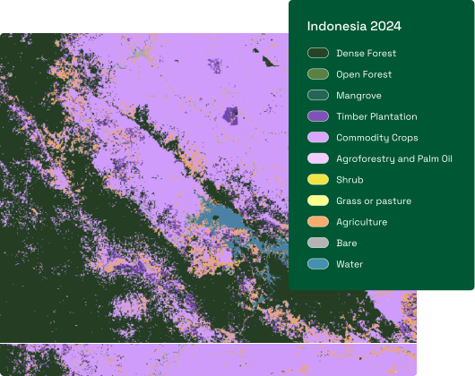
You’re championing sustainability at your company, and you’re beholden to a stack of commitments: zero-deforestation pledges, Scope 3 FLAG targets, EUDR compliance, supply chain monitoring, and agroforestry insetting programmes.
Every one of them rests on a strong geospatial data layer to back the claims you make. Get that data wrong and the consequences are severe — public reputational damage, or EUDR fines of up to 4% of annual turnover.
Space Intelligence provides the data and services behind your sustainability programme, so you can prove your supply chain is deforestation-free.
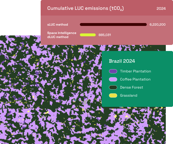
Scope 3 FLAG targets
Calculating land-use change emissions by commodity
EUDR Compliance
Verifying deforestation-free sourcing for EU markets
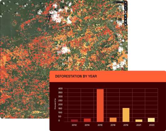
Supply Chain Monitoring
Assessing deforestation impact and risk across the supply chain
Insetting & Restoration Impact Reporting
Quantifying the carbon impact of restoration and regeneration activities within your supply chain.