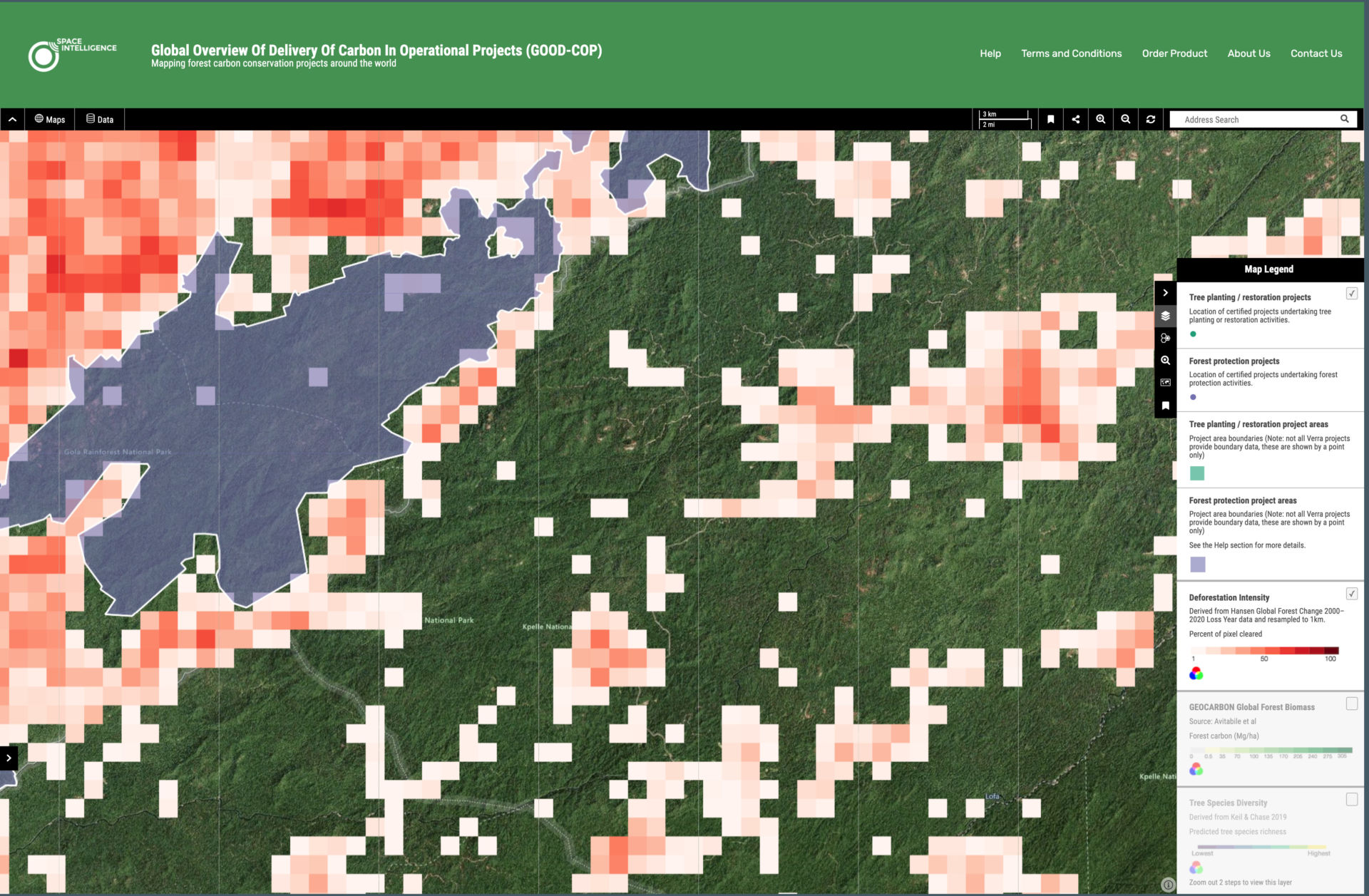
We’ve just launched a world-first interactive platform mapping forest carbon project globally. During COP26 in Glasgow, Space Intelligence has launched a world-first platform which displays forest carbon project data in an easy to digest world …
Watch now – a live link up for schoolkids with the ISS Last week, we were very proud to sponsor an amazing link up for schoolchildren in Scotland, Houston & Ecuador, who got the opportunity …
We’ve just published the first ever Scotland-wide high resolution habitat maps, for free Space Intelligence, in partnership with NatureScot, has produced a groundbreaking new mapping system for Scotland. The country’s first-ever nationwide high resolution habitat …
How climate change is reshaping our world From global heating, melting ice and the changing acidity of our oceans, climate effects are far-reaching and intertwined. In some cases, their effects naturally accelerate after they have …
Space Intelligence win SME showcase spot at Scotland’s 2021 CAN DO Innovation Summit We’re excited to have been selected as one of three SME winners to be showcased at Scotland’s CAN DO Innovation Summit on …


