7 May 2026
Prof. Ed Mitchard
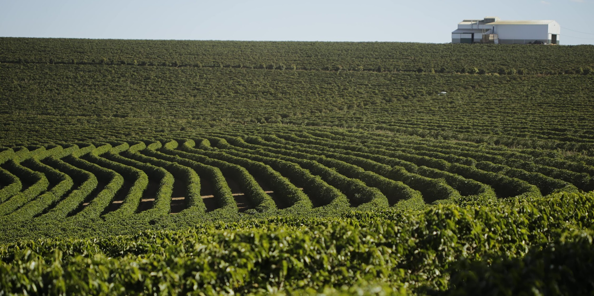
Space Intelligence selected by Verra to deliver REDD risk maps under VM0048
31 Mar 2026
Murray Collins
Space Intelligence Powers Due Diligence for Symbiosis Coalition
26 Mar 2026
Prof. Ed Mitchard
Introducing GrowthTracker: Early Growth Monitoring for ARR Projects
26 Feb 2026
Snezhanna Markova
Space Intelligence partners with Abatable to Strengthen Scope 3 FLAG Reporting
17 Feb 2026
Prof. Ed Mitchard
Comparing Forest Maps for EUDR Compliance in Brazil: Space Intelligence, JRC and MapBiomas
15 Jan 2026
Snezhanna Markova
IFM Project Screening is here – plus key ARR updates you may have missed
2 Dec 2025
Prof. Ed Mitchard
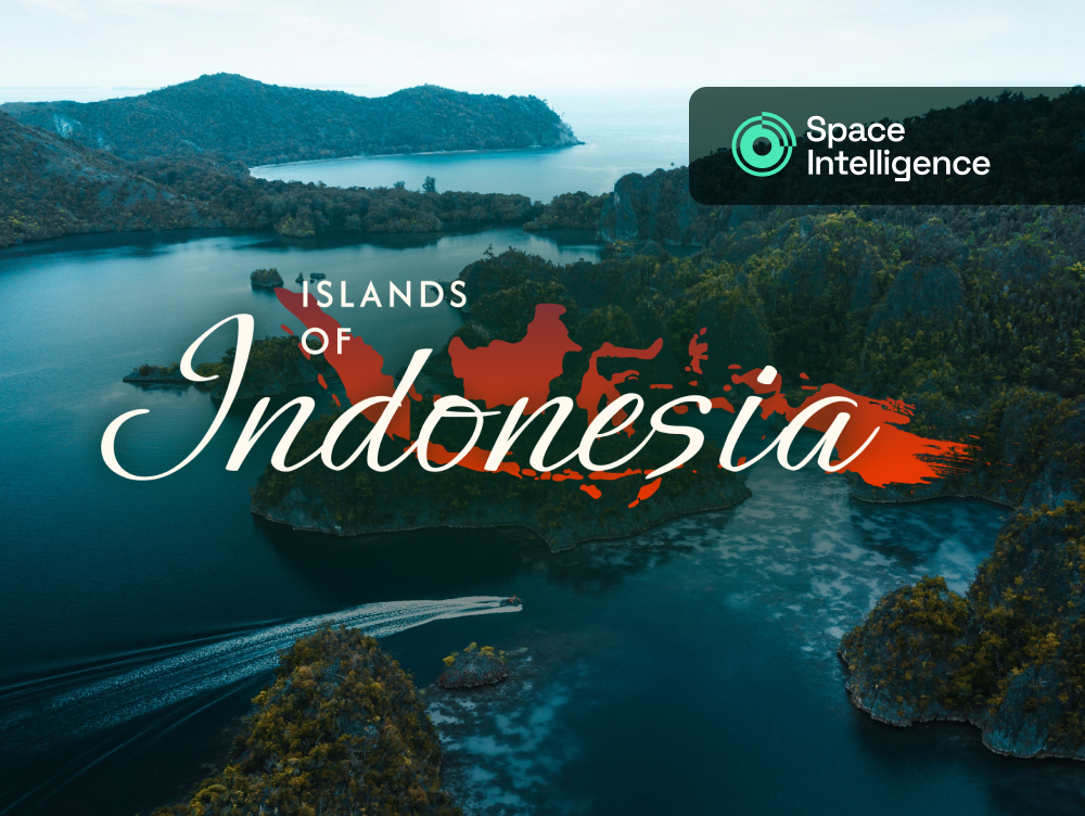
Why high-integrity carbon projects in Indonesia demand higher quality maps
27 Nov 2025
Snezhanna Markova
Indonesia’s forest carbon opportunity: a view in data (2025)
7 Oct 2025
Snezhanna Markova
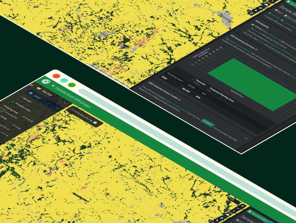
Rapidly screen new ARR opportunities for carbon potential and eligibility