The majority of Space Intelligence’s work involves tropical forests, so it was a real pleasure for the team to work with NatureScot and develop a habitat map for the company’s home, Scotland. On this week’s …
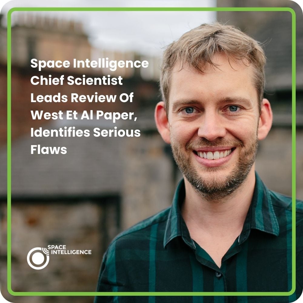
Our Chief Scientist, Professor Ed Mitchard, is lead author on a new paper “Serious errors impair an assessment of forest carbon projects: A rebuttal of West et al. (2023)” Professor Ed Mitchard, alongside Riccardo Cosenza, …
Verra announced a major update to its REDD methodology on November 27, 2023; in short, this will see all Verra REDD+ projects transition (by 2025) to using country-level baselines produced by groups like Space Intelligence, …
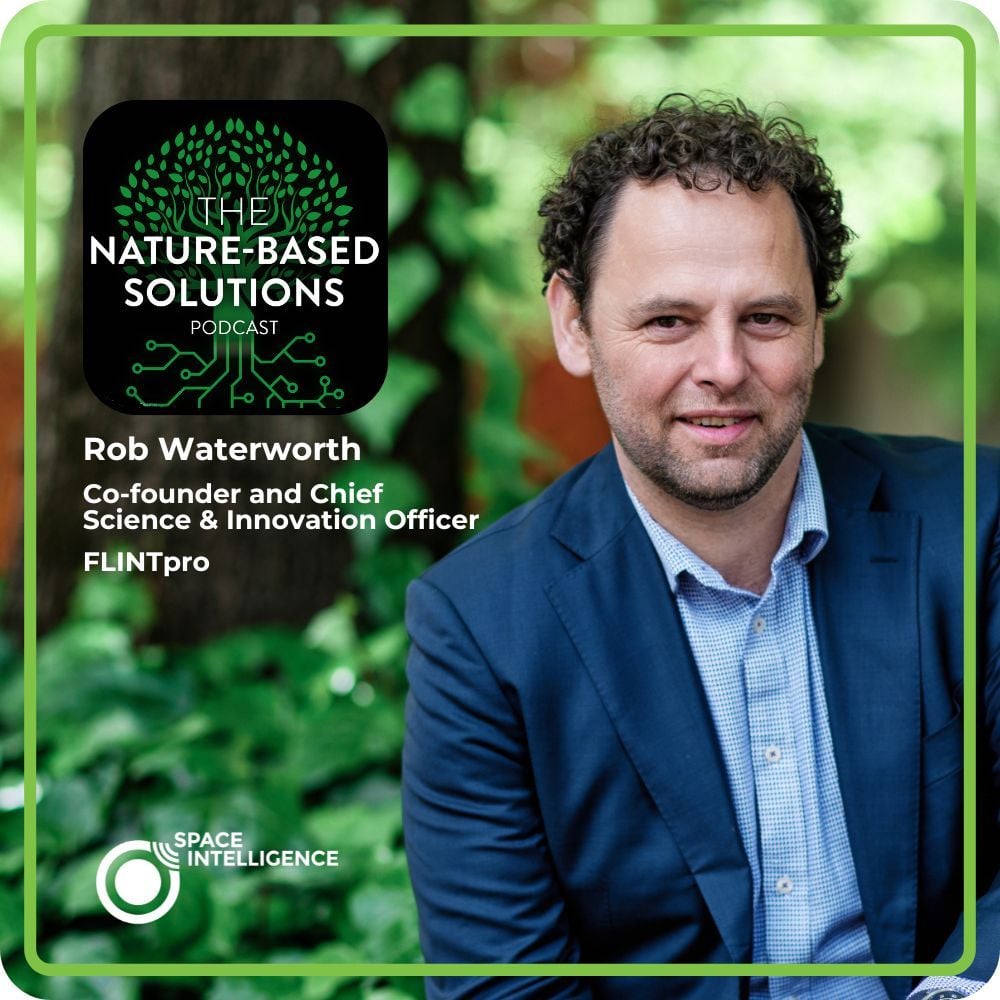
When Dr Rob Waterworth joined Murray and Kim on the podcast, he spoke passionately about the need for urgent action to keep global warming below 1.5 degrees centigrade. For 25 years Dr Waterworth has worked …
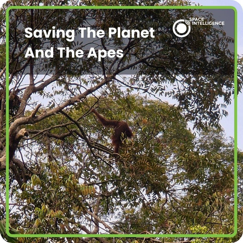
Space Intelligence Chief Executive captures wild orangutans on film while mapping forests from space. We were thrilled to see this story picked up widely by The Scotsman, The Herald, The Press and Journal, The …
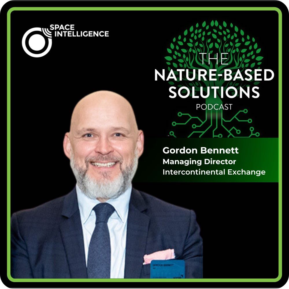
Gordon Bennett is the Managing Director – Utility Markets at ICE (Intercontinental Exchange). ICE is a financial data services and technology company, which owns and operates various exchanges around the world, including the New York …
The team of scientists at Space Intelligence are always at the cutting edge of technology, creating highly-detailed maps of above-ground biomass for use by a range of clients. On this week’s episode of The Nature-Based …
In this episode of the Nature-based Solutions podcast, we explore the intricacies of carbon markets and the crucial role they play in addressing the climate crisis with Chris Stephenson, who spent nearly a decade with …
Stuart Clenaghan, Co-founder of Green Gold Forestry, takes us through the journey of how his company has taken an innovative approach to environmental conservation by turning logging concessions into thriving conservation projects; and the impact …
Fast-scaling naturetech company Space Intelligence has hired Cameron Nicol, formerly of Nasdaq, as Head of Marketing. Nicol, who was Senior Marketing Director within Nasdaq for the company’s institutional asset management data business unit, joins at …

