Ola Lysien and Poppy Simmonds – Edinburgh University MSc students, and GIS support analysts for Space Intelligence Students Ola Lysien and Poppy Simmonds on their time at Space Intelligence We’ve loved having Ola and Poppy …
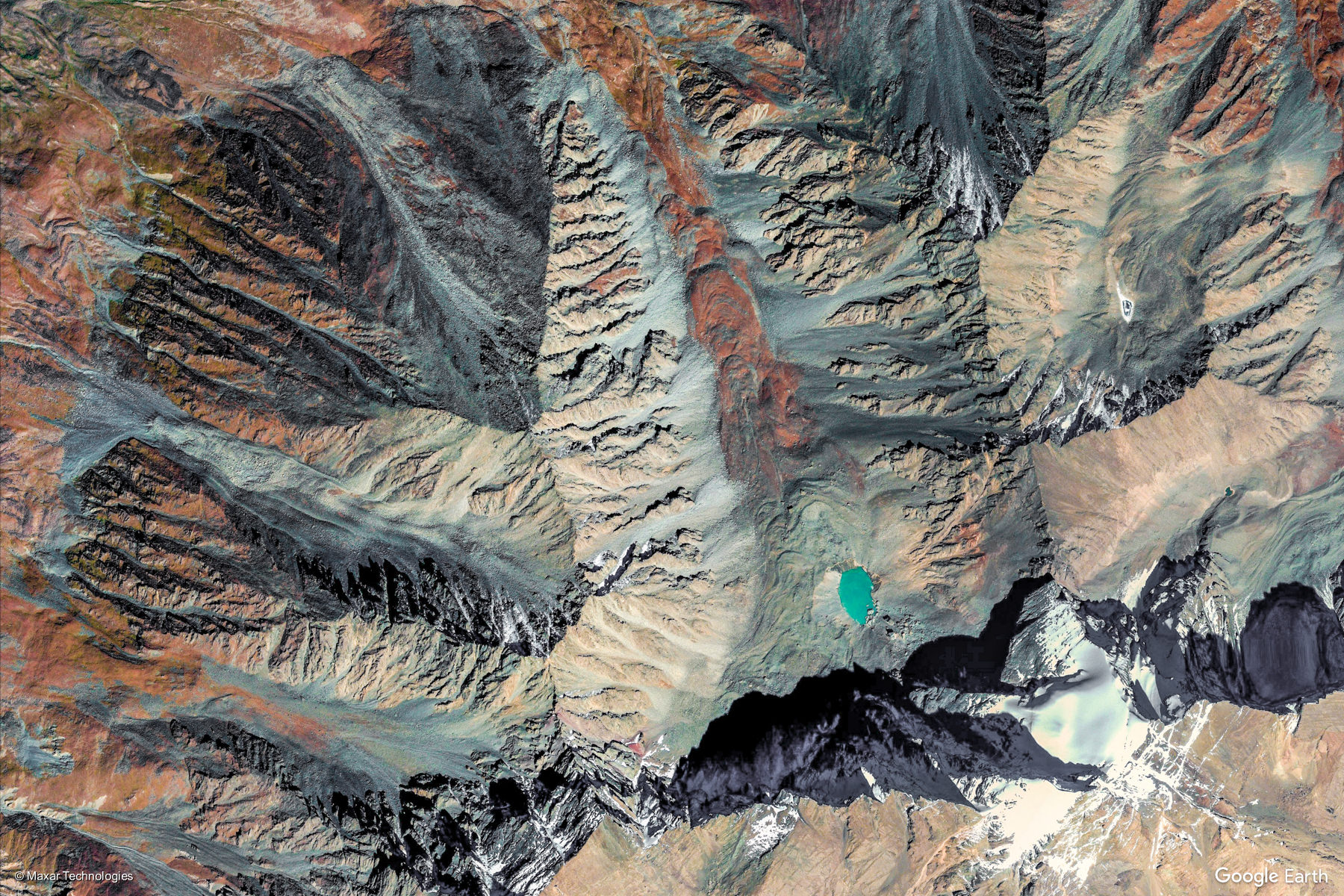
Looks like art? It’s actually a satellite view of Xigaze, China from a Worldview satellite at sub-meter resolution, captured from Google Earth. © 2020 Maxar Technologies The AI revolution in satellite data explained Not long …
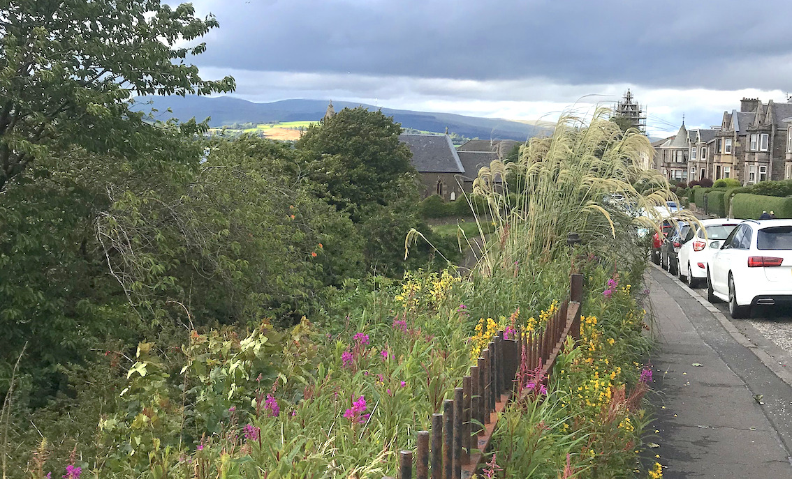
Did the Covid-19 lockdown really boost bees and wildflowers in Scotland? During the lockdown, we came across this fascinating article “Coronavirus may prove boost for UK’s bees and rare wildflowers”. Road verges are a key …
Covid-19 update Almost regardless of where you are in the world, these have been era-defining weeks as we experience the spread of the pandemic. Here in Edinburgh we’re now officially in something close to lockdown, …
Deforestation for palm oil production has again received international attention in light of allegations that plantation linked to major household names has been encroaching on protected peatland area. We thought this would be a good …
Earlier this year, Unilever decided to release the locations of all of its mills used for palm oil production. The locations of 1431 mills were disclosed. This is very useful information for scientists as these …
In February 2018, Unilever released details about its palm oil suppliers and mills in a bid to makes its supply chain more transparent. In what they call a ‘radical step’, they are one of very …
Our visiting scientist, Dr Penny How, is being supported by NERC to lend her expertise to Space Intelligence. Dr How specialises in glaciology, and uses both field and remote sensing data to monitor ice flows …
A recent paper by Thomas Janssen, a PhD student at the Vrije Universiteit Amsterdam, uses remote sensing to tell the story of the Kogyae Strict Nature Reserve in Ghana. The paper, co-authored by Space Intelligence’s …
One of the most biodiverse ecosystems in the planet – the rainforests in the Madre de Dios region of southeastern Peru – also contain some of the world’s most easily accessible sources of gold in …


